 |
 |
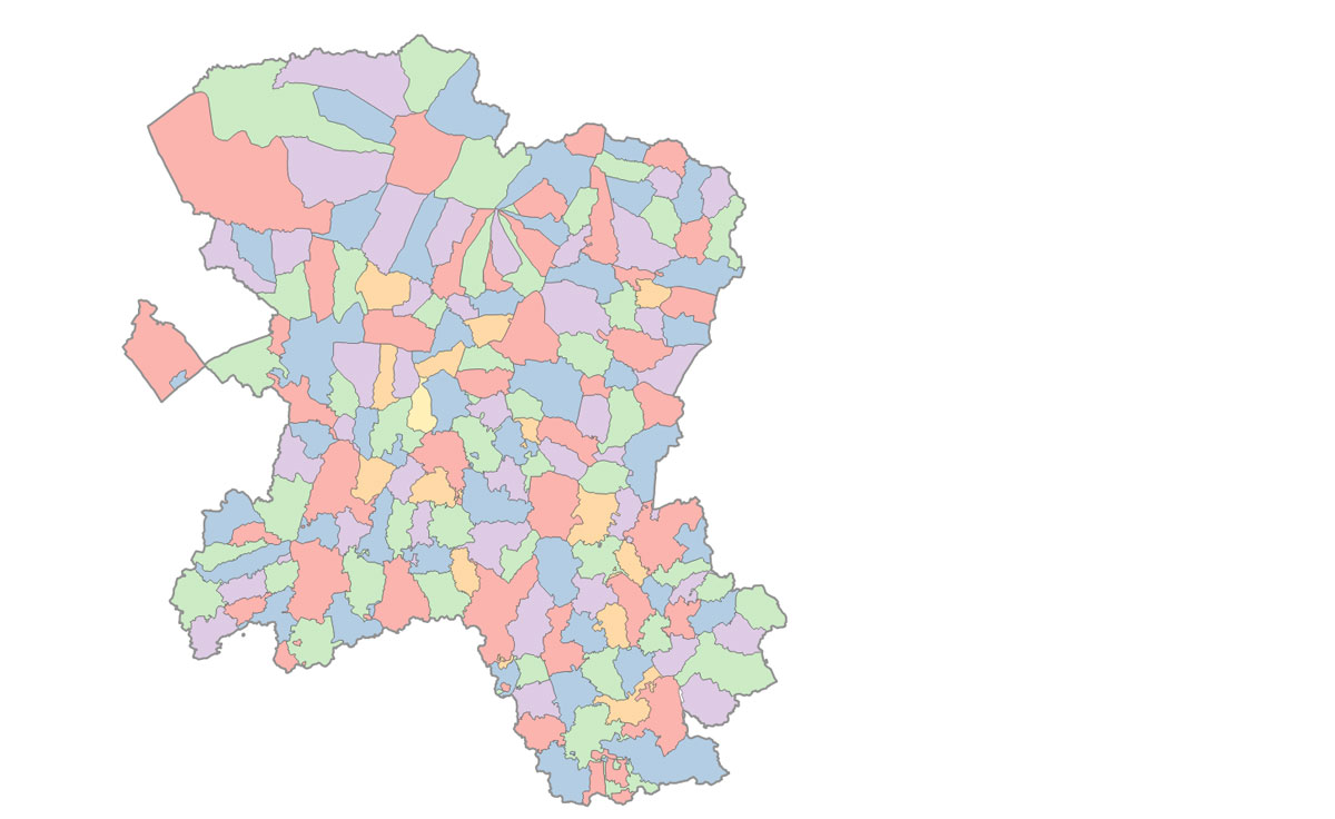
This example of a map produced within QGIS shows the area of the Liberty of St Edmund as it was in the mid 19th century. The individual parishes are coloured in such a way that, using the minimum of colours, no adjacent parishes bear the same colour.
This is achieved within QGIS by the use of a plug-in known as "Map Coloring". This is easily loaded into QGIS from its store of such plug-ins, created for specialised uses by a variety of contributors. It adds a new column to the layer's attribute table called "Color_ID", and gives each feature, (a parish in our case) a number, usually from 0 to 5. This number is used to 'style' the parish from a palette of colours.
The colours have no other purpose than to make the map more restful to view.
 |
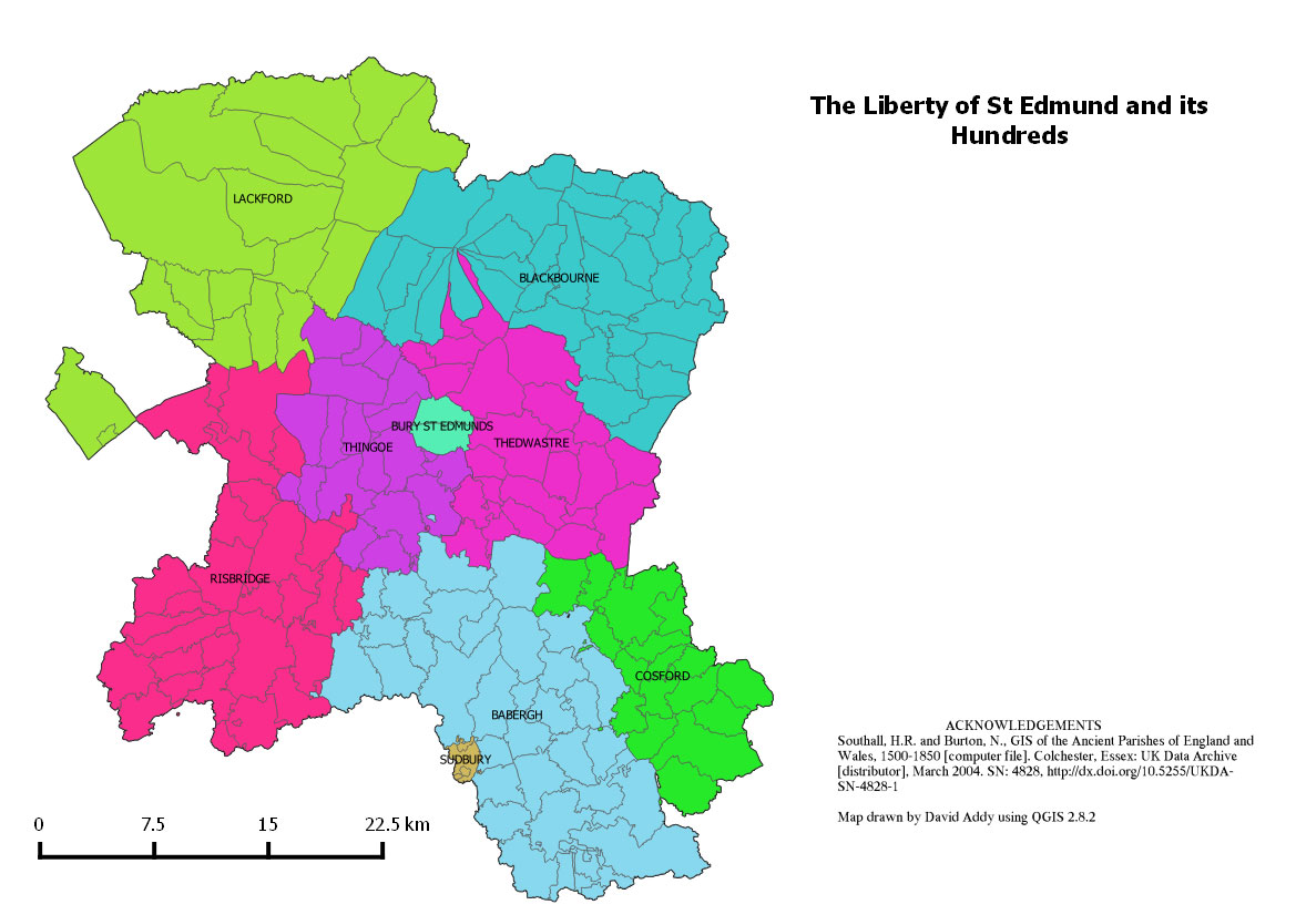
By consulting the Historical Atlas of Suffolk, it is possible to pick out those parishes within the various Hundreds as they existed in the 19th century. The Liberty area persisted as West Suffolk County Council until 1974.
The garish colours illustrates some of the random allocations which QGIS will make if you fail to select your own colour palette.
 |
| Go to DIY digital mapping Homepage |
This page created 10th September 2015 Last updated 10th September 2015. | Go to Main Home Page |