 |
|
|
|
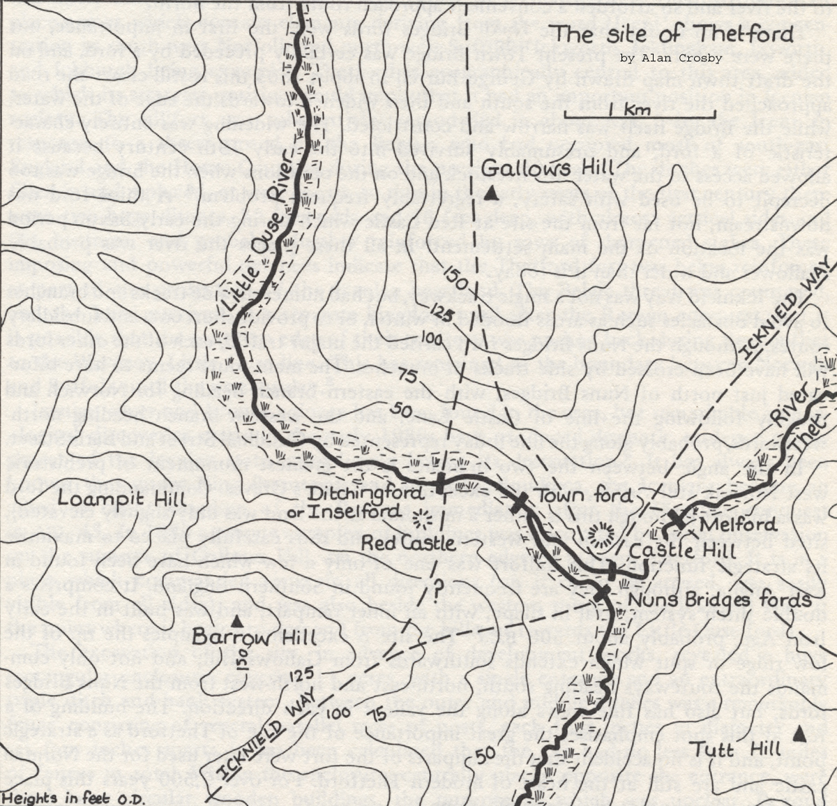 Thetford site in the Iron Age This map shows the features which made Thetford a site of strategic importance in the Iron Age.
|
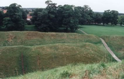
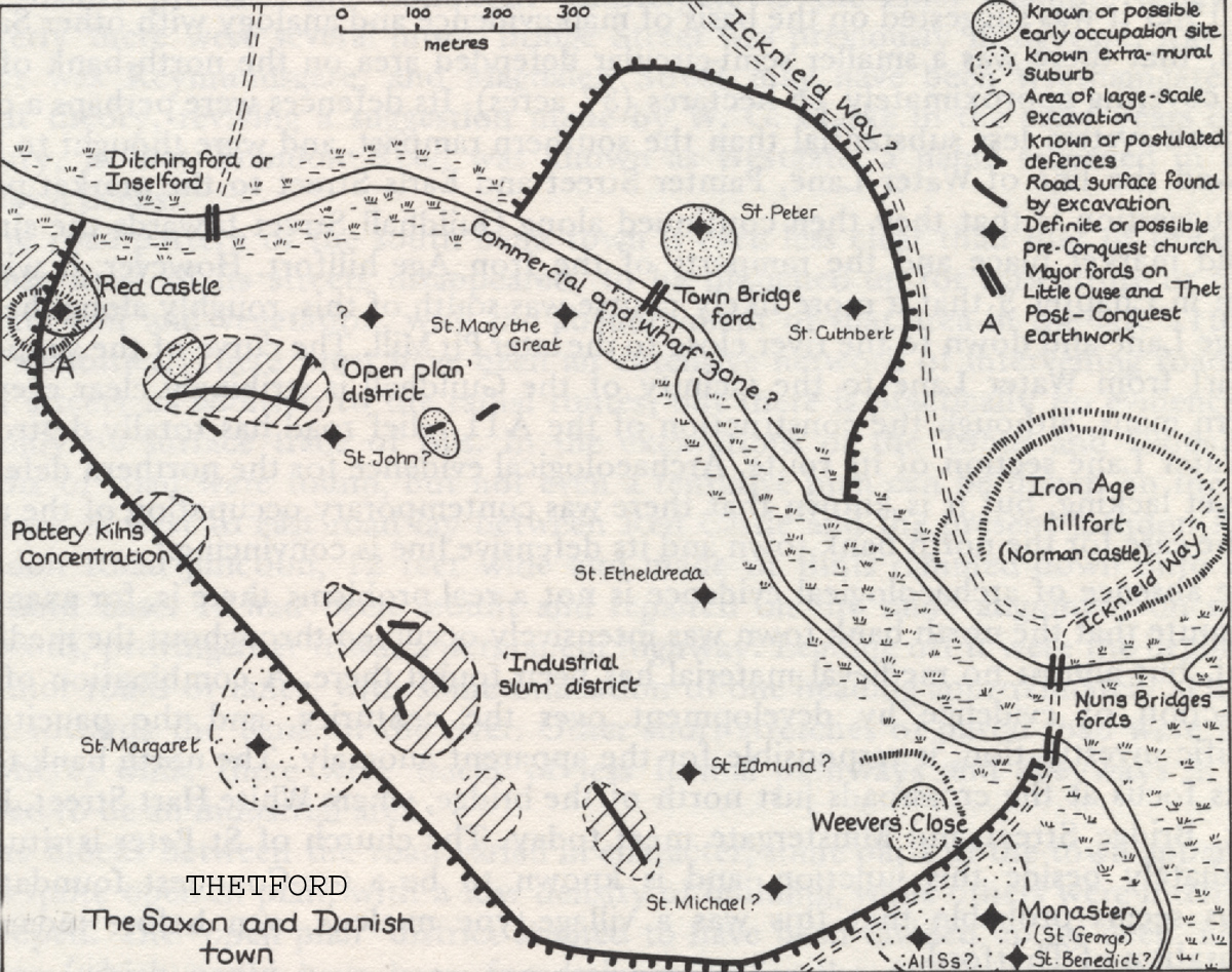 Saxon and Danish Thetford Thetford was at the height of its importance before 1066, having been developed considerably under Danish rule for its strategic location on a navigable river in the heart of prosperous East Anglia.
|
|
Source: "The History of Thetford" by Alan Crosby. |
| Go to Maps homepage | Produced 10th June 2010 | Go to Home Page |